Regional Drone Mapping in Africa
By: Matthew Merry
To help someone, first you must be able to find them. Maps are a crucial resource in both the mitigating of and response of any disaster. Being able to quickly and efficiently allocate rescores can often be the difference between life and death. So, when looking to deploy resources most people would look at a map, am I right? Well, what if that map is incomplete or severely out of date? This is a very real problem for both Governments and NGOs working in Africa. Mapping is often provided by an external source (Google Maps, etc.) but can lack detail, especially at local level or if they are archived maps (often deriving from hand draw mapping).
The problem of the lack of mapping in some African countries promoted the United Nations to implement their formal mechanism: The United Nations Committee of Experts on Global Geospatial Information Management (UN-GGIM). This mechanism looks to implement 5 key frameworks to enable the best results are achieved:
- Geospatial information policy and governance;
- Common framework and tools;
- Capacity building and knowledge transfer
- International coordination and cooperation in meeting global needs; and
- Integration of geospatial information and statistics.
These key frameworks ensure that mapping data is not only compatible but is also shared.
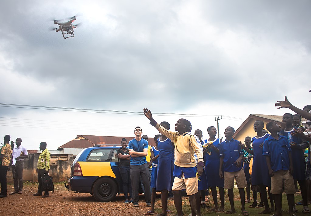
It is very well and good to implement frameworks and to set out guidelines, but how is it going to get done? And the answer is drones! Drones in recent times have come under fire by the media; granted they caused huge disruptions at Gatwick Airport. However, I believe that this is a case of ‘with great power, comes great responsibility’. Groups across Africa are using drones to photograph local areas and plot several key markers including: roads, houses, pipelines and other infrastructure. This type of mapping has also been commented on by major companies, such as TomTom saying that even they need help at the local level to map these areas.
When thinking of drones, two pictures come to mind- these drones are either the military high-tech type or the considerably lower-tech version you or I could buy in a shop. It turns out that this time, the lower-tech won.
The drones that are being used often weigh less than a bag of sugar and have camera quality of that of a smart phone. However, flying these drones at relatively low levels and taking thousands of pictures per flight means that an extremely detailed map can be built up.
Understanding where people are and how they are living can be your biggest tool when mitigating the effects of disasters, flooding especially. Knowing where people are, combined with historic flood records allows for more effective flood action and relief plans to be created. This in turn, means that both time and money can be saved.
Sources: UN, 2016 and BBC, 2019
Picture Source: IanCamp, 2017
Very interesting article. The use of technology is essential for managing disasters.